.jpg)
Base Maps
Click-on the text above to open the document pdf.
Aerial suvey planned in Kazakhstan. Published EOM and ERIM 1994.
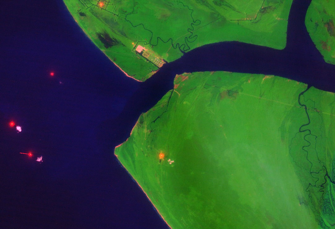
Click-on the text above to open the document pdf. Satellite imagery, GPS, and CAD used for baseline, Kazakhstan. Published EOM and ERIM 1995.
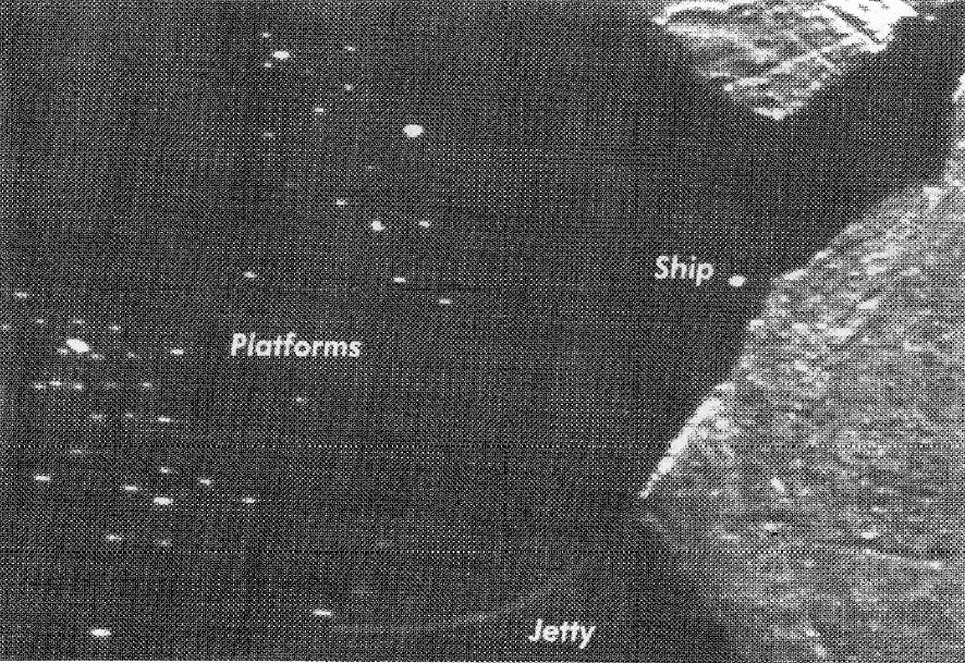
Click-on the text above to open the document pdf.1977 SLAR used to locate offshore platforms, Nigeria. Published ERIM 1993.
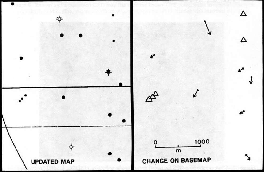
Click-on the text above to open the document pdf. Landsat TM imagery was used to update the CAD map in northwestern Niger Delta. Published ERIM 1989.
Several of the downloads are papers submitted to Proceedings of the 5th to 14th Applied Geologic Remote Sensing Conferences, coordinated by the Environmental Research Institute of Michigan (ERIM). Reprints of specific articles or the One- or Two-volume sets of the entire Conference Proceedings may be available from Michelle Wienert, Asst. Research Scientist Conference Manager, MTRI, Michigan Tech University, 3600 Green Ct., Ste. 100, Ann Arbor, MI 48105, 734-913-6870 (o), mwienert@mtu.edu, www.mtri.org